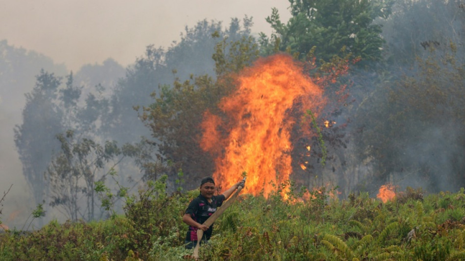
Indonesia fires burned over 1.9 mn hectares through September: monitor / Photo: MUDA SAGALA - AFP
Fires in Indonesia burned through over 1.9 million hectares between January and the end of September this year, a monitor analysing satellite imagery said on Monday.
The figure, an area nearly 12 times larger than London, is a conservative estimate in part because haze has complicated satellite verification, said David Gaveau, founder of deforestation monitoring site Nusantara Atlas.
Indonesia's government has not provided official figures for areas burned since announcing 202,000 hectares had been razed by the end of July.
Gaveau said the true scale of the burning was likely to be even higher than the 1,916,588 hectares his organisation has detected so far.
"Our burned-area estimates are conservative for two reasons. First, we exclude individual burn scars smaller than 6.25 hectares... Second, we prioritise avoiding false detections," he said.
This year, the calculation has also been impacted by heavy haze, which has obscured satellite images at times.
"The total reported burned area therefore underestimates the true area burned," he said.
Even so, Nusantara Atlas data shows the area burned by the end of September this year was 38 percent higher than the same point in 2019.
The satellites the monitor uses were not available during severe fires in 2015, so comparable data is not available.
But Gaveau said it was likely this year would be similarly bad.
"My intuition is that it probably is as bad. If you look at the sheer number of hotspots, it's still trending up and up," he said.
A.Famiglietti--LDdC